


Flood Water Protection in the City of Buenos Aires
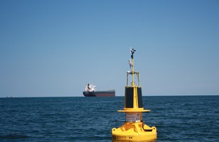
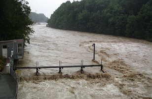
The Arroyo Mendrano is the second largest channeled stream of water running through Buenos Aires. In case of heavy rainfalls it overflows its banks and causes considerable material damage. When the retention basin which had been especially built to collect large quantities of water during strong precipitation events also overflowed, the government decided to have an alarm-system installed to monitor the water level in the basin.

OTT RLS - Radar Level Sensor
Non-contact water level sensor for long term surface water measurements
The OTT RLS is a non-contact radar level sensor with pulse radar technology that is ideal for monitoring in remote or hard to reach locations.
- Surface water
- Water level / distance to water
- Non-contact pulse radar
- Measures water level or depth to water from a bridge, pier or mounting arm
- 0.4 … 35 m
- 0.8 … 2 m: ± 10 mm; 2 … 30 m: ± 3 mm; 30 … 35 m: ± 10 mm
- No
- SDI-12, RS-485 (using SDI-12), or 4 ...20 mA
The „Arroyo Medrano“ is the second largest channelled stream of water which runs directly through Buenos Aires, the largest urban area in Argentina.
In case of heavy rainfalls it overflows its banks, floods roads and often causes considerabel material damage. To prevent furhter flooding, the government had a retention basin built which has a volume of 300.000 m³ and which shall help to regulate the discharge of the Mendrano during strong rainfall.
As it happened that even the retention basin was overflowing during an extreme precipitation event, the government had a system installed to monitor the water level in the basin. This system triggers an alarm as soon as a defined threshold is reached.
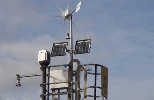
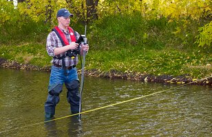
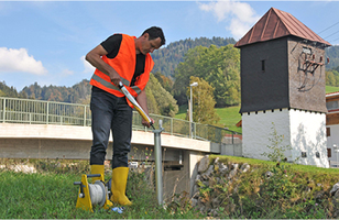
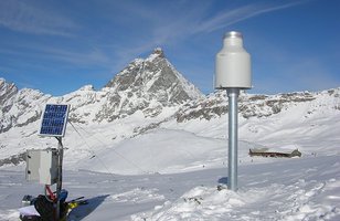
Water level measurement with the contact free radar sensor OTT RLS
• Remote data transmission with Adcon RTU A755 via GSM/GPRS
• Power supply by integrated battery and solar
• Data visualization and alarm set-off by software addVAN-TAGE Pro
• Data output protocol is used for web publication to inform residents in real time about the water level